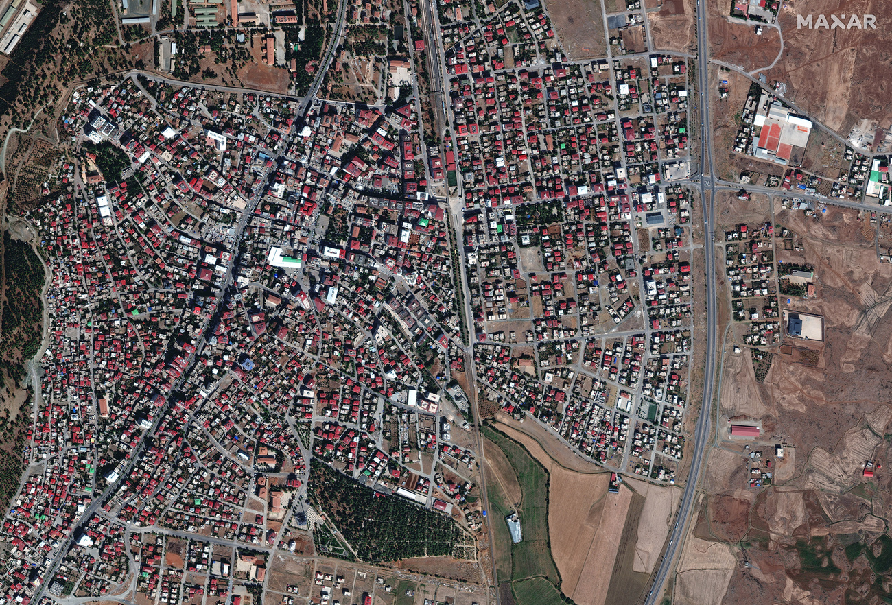
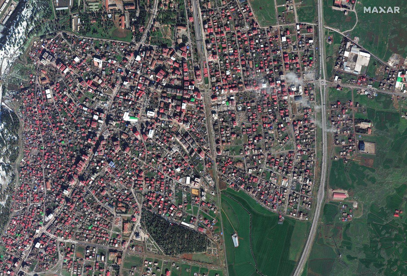
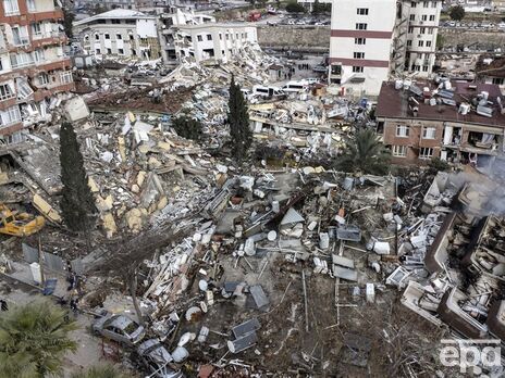
Показаны изображения застройки до и после землетрясения в городе Ислахие возле границы с Сирией.
We will be activating our Open Data Program (https://t.co/KG4Ln7Gvck) for the powerful #earthquakes in #Turkey and #Syria. Please stay tuned for that notification. Seen here is another before (Oct 4, 2022) and after (Feb 7, 2023) view of #Islahiye, Turkey and the destruction. pic.twitter.com/jd8KakGRgb
— Maxar Technologies (@Maxar) February 7, 2023
We are working with multiple organizations to provide them with #satelliteimagery of the recent #earthquake that has devastated #Turkey & #Syria. Seen here are before (Oct 4, 2022) & after (Feb 7, 2023) images of #Islahiye, Turkey, showing collapsed buildings & rescue operations. pic.twitter.com/3c69oZFYmu
— Maxar Technologies (@Maxar) February 7, 2023
Первый снимок, опубликованный Maxar, был сделан 4 октября 2022 года. Второй – после землетрясения, 7 февраля 2023 года.


